Photo GPS Stamp: The Anatomy of a Verifiable Watermark
What Makes a Perfect Photo GPS Stamp?
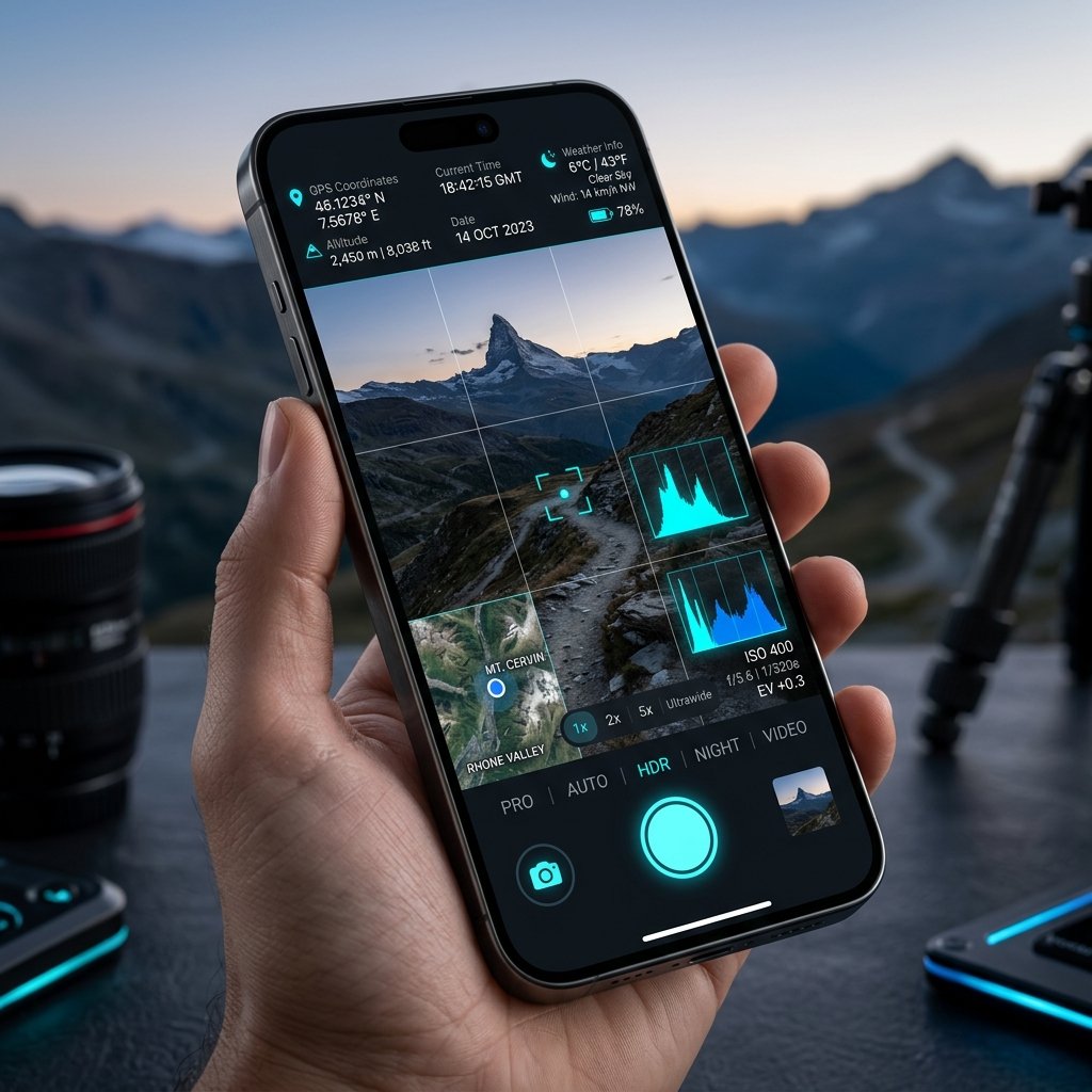
A Photo GPS Stamp is the visual overlay placed on top of a digital image to display geographic and temporal metadata. However, designing a highly legible, informative, and tamper-proof stamp requires deep engineering and UI expertise. The perfect Photo GPS Stamp must convey massive amounts of data without obscuring the subject of the photograph.
Core Elements of the Stamp
When you use the GPS Map Camera app (com.geotagginglocationonphoto.gpsmapcamera), the Photo GPS Stamp typically comprises:
- The Mini-Map: A 100x100 pixel rendering of an interactive map (satellite, terrain, or standard) featuring a red pin exactly where the photographer is standing.
- Coordinate Block: The precise Latitude and Longitude displayed in decimal degrees or DMS (Degrees, Minutes, Seconds) format, along with Altitude in meters.
- Temporal Block: The NTP-verified date and time, often displayed in ISO 8601 format, including the local UTC offset.
- Contextual Block: Custom notes entered by the user, such as "Project Phase 3", the physical street address generated via reverse-geocoding, and a company logo.
Customization and Flexibility
Different industries require different Photo GPS Stamp layouts. A real estate agent might want a subtle, elegant stamp showing just the address and date, while a civil engineer might require a massive, high-contrast block detailing coordinates, altitude, magnetic compass bearing, and inspector ID. Modern GPS camera applications provide template engines to customize the stamp for any use case.
📍 GPS Map Camera Quick Links
📲 Download GPS Map Camera – Free
Start stamping your field photos with GPS location, date & time. 100% free on Android.
▶️ Download GPS Map Camera on Google Play