GPS Camera for Government Work: Enforcing Transparency in Public Projects
Combating Public Infrastructure Fraud
In developing nations and massive municipal projects globally, "ghost work" is a serious problem. A contractor might claim they repaired 50 potholes and submit 50 generic photos of repaired asphalt to receive payment. Without a GPS Camera for Government Work, auditors cannot prove whether the photos are of the correct road, or if the contractor simply photographed the same repaired pothole from 50 different angles.
The Mandate for Verifiable Photography
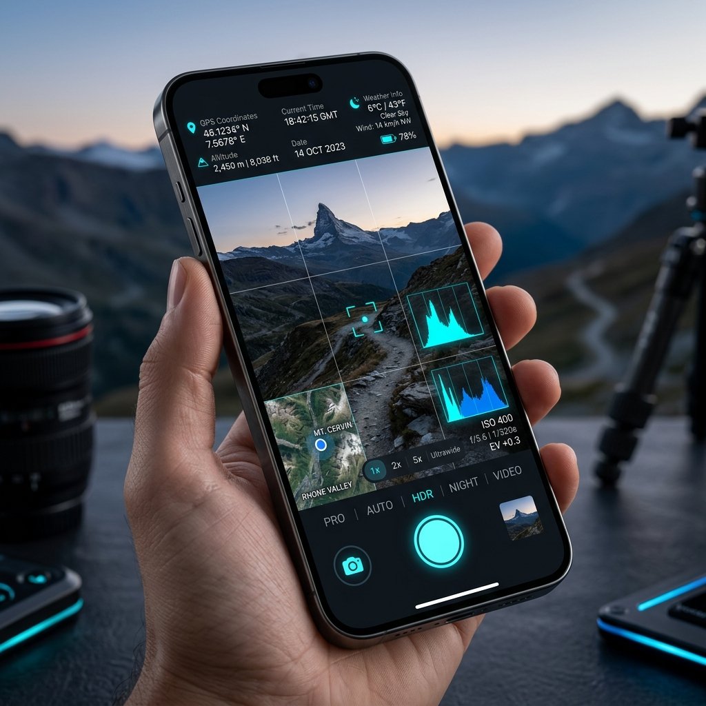
To combat this, government bodies now write the use of a GPS Camera into their public tender contracts. Contractors must submit progress photos using apps like com.geotagginglocationonphoto.gpsmapcamera. Every submitted photo must feature a visible stamp showing the exact coordinates of the road repair, the true north compass bearing of the camera, and the atomic timestamp.
Streamlining Audits
When government auditors review these projects, they no longer have to visit every site in person. They can load the geotagged photos into a GIS (Geographic Information System) portal. The photos populate perfectly on the map, allowing auditors to visually verify that public funds were spent exactly where the contractor claims.
📍 GPS Map Camera Quick Links
📲 Download GPS Map Camera – Free
Start stamping your field photos with GPS location, date & time. 100% free on Android.
▶️ Download GPS Map Camera on Google Play