GPS Camera for Agriculture: Precision Farming and Crop Insurance
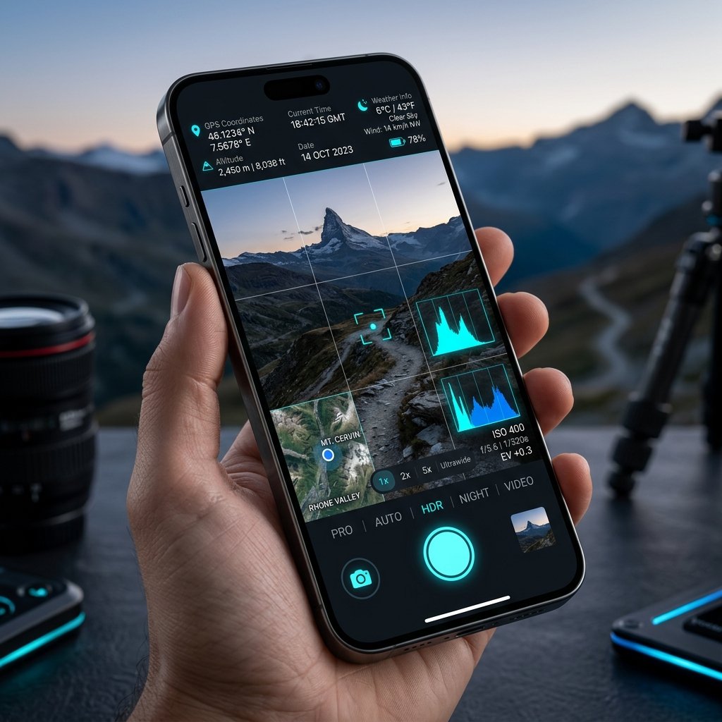
Navigating the Vast Expanse of Farmland
Unlike urban environments, agricultural fields do not have street addresses. If an agronomist spots a patch of corn blighted by a fungal infection in the middle of a 10,000-acre farm, taking a standard photo is useless. Without coordinates, the farmer will never be able to find that specific patch to apply fungicide. A GPS Camera for Agriculture solves this instantly.
Crop Insurance Adjustments
When severe weather—such as a hailstorm or flooding—destroys a crop, insurance adjusters must evaluate the damage. Fraud is a major concern, as farmers might attempt to submit old photos of damage. By using a GPS Camera, adjusters and farmers can capture images that are cryptographically locked to the exact atomic date and physical coordinates of the damaged field, ensuring fair and rapid insurance payouts.
Soil Sampling and Yield Mapping
Agronomists taking soil samples use a GPS Camera to photograph the soil core. The embedded location data is then synced with agricultural software to build a "heat map" of soil health across the farm, allowing for precision fertilizer application.
📍 GPS Map Camera Quick Links
📲 Download GPS Map Camera – Free
Start stamping your field photos with GPS location, date & time. 100% free on Android.
▶️ Download GPS Map Camera on Google Play